27 April 2023
Look up – aerial groundwater survey of the Condamine Alluvium
As part of their ongoing commitment to improve groundwater assessment, the Office for Groundwater Impact Assessment will be conducting an airborne electromagnetic survey on land around Dalby and Cecil Pains during May. OGIA is an independent office responsible for the cumulative assessment and management of coal seam gas impacts on groundwater.
The purpose of the survey is to gain an improved understanding of the groundwater system in this area – in particular, focusing on the potential for connection between the Condamine Alluvium and the underlying coal seams around the Horrane Fault.
The survey will see a helicopter will fly around 90 metres above the ground with a frame suspended about 35 metres above the ground.
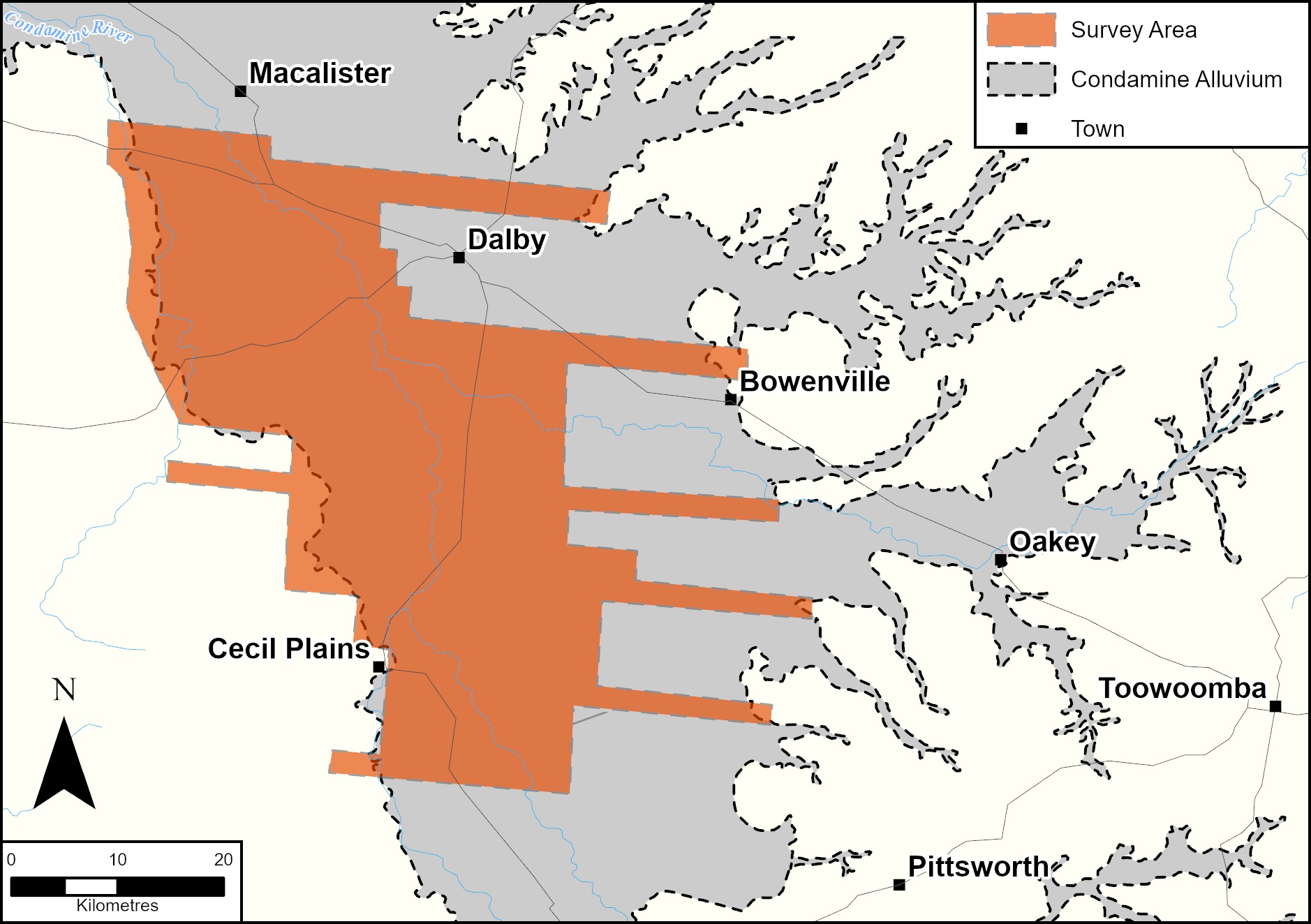
To achieve good coverage, it will take repeated passes, with flightpaths between 500m and 1km apart. The survey area is highlighted in the map below.
The helicopter is expected to fly in 2 to 3 hour intervals, from around 6am through to 5pm during the survey. It will be travelling relatively quickly and therefore will pass over your property in a very short period.
As it flies overhead, it will be sending an electromagnetic signal to the ground and recording the return signal. The strength of the signal is less than those created by everyday household appliances.
For more information access a detailed fact sheet here or contact the Office for Groundwater Impact Assessment on (07) 3199 7321.
For media enquiries
Latest Articles
Proposed legislation to expand GasFields Commission’s remit
![]()
What are your views on the onshore gas industry and GasFields Commission Queensland?
![]()
Coexistence challenges and opportunities
![]()
Join the conversation to enhance coexistence in Queensland
![]()
Corrigendum to the report: Review of the Regional Planning Interests Act 2014 Assessment Process
![]()